Lubber Run
Location
Lubber Run is located in a central part of the County.
Drainage Area
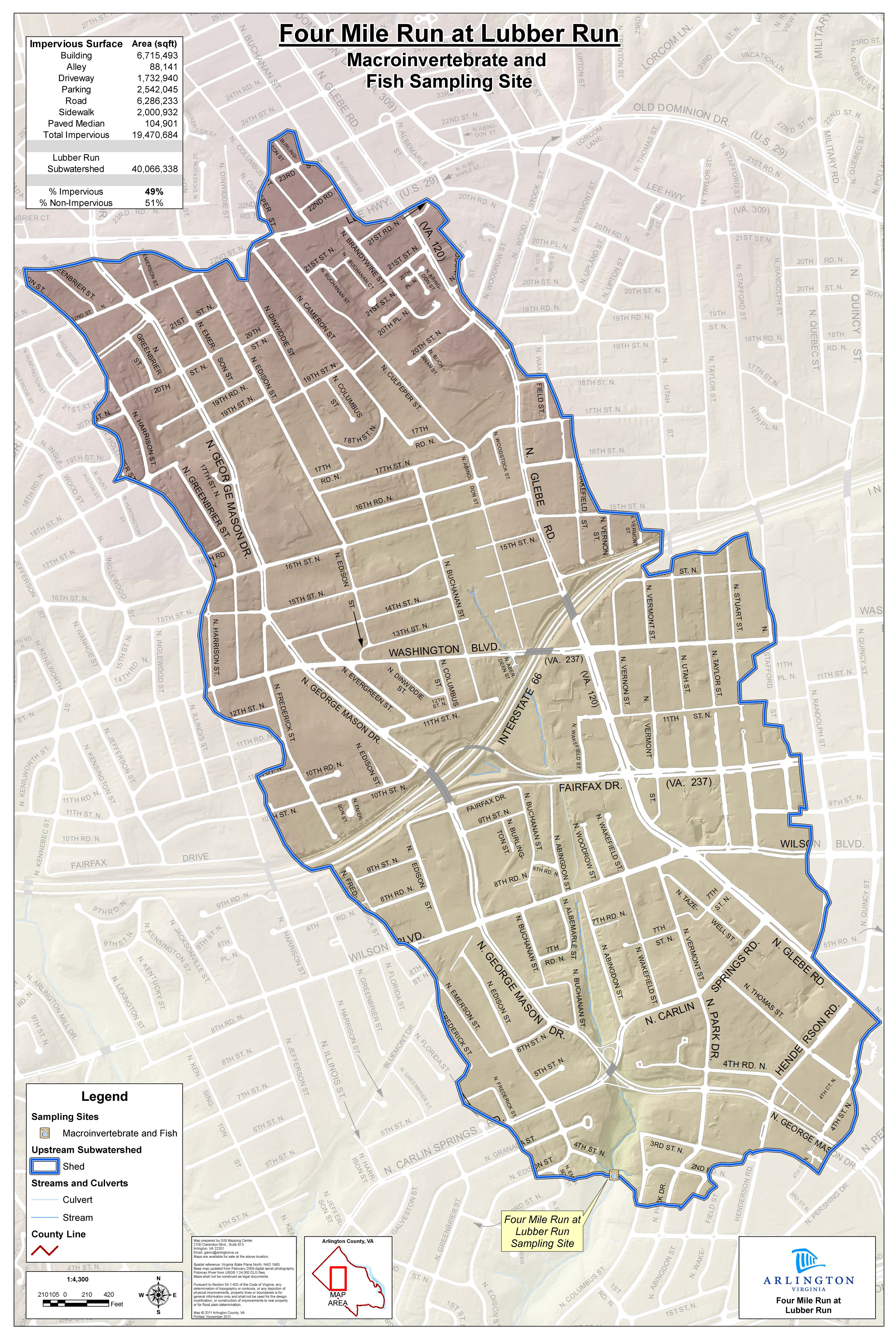
Lubber Run drains directly into Four Mile Run. The drainage area is 1.6 square miles, and 37 percent of the watershed is impervious.
 (JPEG, 2MB)
Drainage area for Lubber Run monitoring site
Rapid Stream Assessment Technique Scale: Fair
In 2011, we assessed all the streams in the County as part of the Stormwater Master Plan Update. The assessment used the Channel Evolution Model to evaluate which sections of the streams are actively eroding to prioritize them for stream restoration. During that assessment, more than 70 percent of Lubber Run was found to be naturally stabilizing.
About Lubber Run
One-third of the runoff from Lubber Run is detained and treated in Ballston Pond, a detention storage site for runoff from a .6-square-mile drainage area, including portions of Interstate 66. Ballston Pond will be restored in the near future.
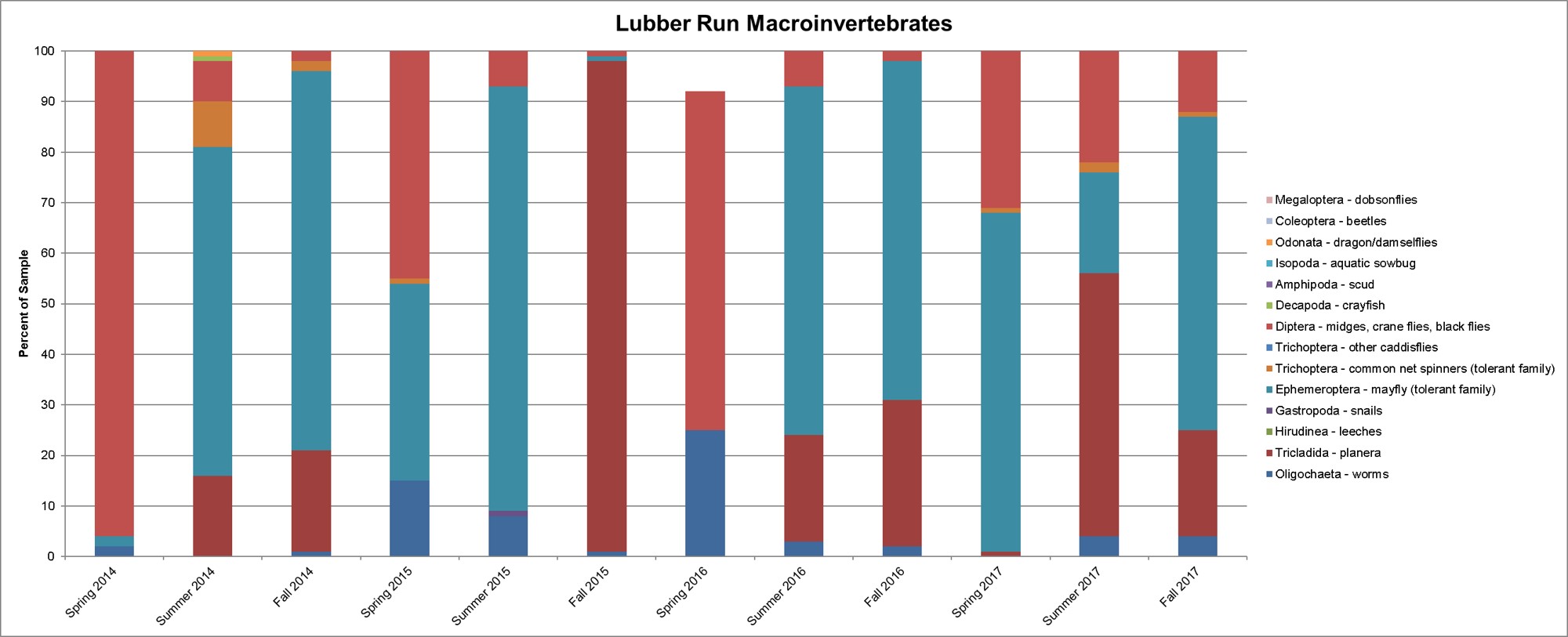
Macroinvertebrate Monitoring Data
Lubber Run is a comparatively new macroinvertebrate monitoring site, with data first collected in 2010. The monitoring site is located in Lubber Run Park near the intersection of Fourth Street North and North Edison Street.
Macroinvertebrates commonly found are:
- Aquatic worms
- Flatworms
- Midges
- Net-spinning caddisflies
- Small minnow mayflies
In fall 2011 and spring 2012, we contracted a professional monitoring group to collect family/genus-level macroinvertebrate and fish data at each of our volunteer monitoring sites.
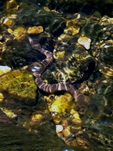
Northern water snake seen during summer 2012 monitoring. Photo courtesy of Emily Ferguson.
 (JPEG, 173KB)
Click on the graph above for an enlarged version.
Bacteria Monitoring Data
There are three bacteria monitoring sites on Lubber Run; two in Woodlawn Park and one in Lubber Run Park. Learn more about bacteria monitoring data.